01 / ARCHIVE
Archives become a working resource
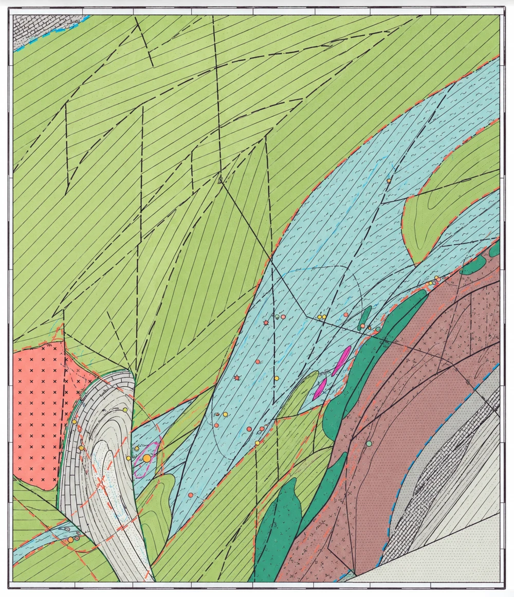
We organise reports, maps, sections and drillhole records, reconstruct exploration history and identify what needs checking.
 Geo AuditArchive
GEO AUDIT ARCHIVE
We distinguish original facts, historical estimates and interpretation. Every conclusion is traced to its sources.
FROM SOURCE TO INTERPRETATION
We organise reports, maps, sections and drillhole records, reconstruct exploration history and identify what needs checking.
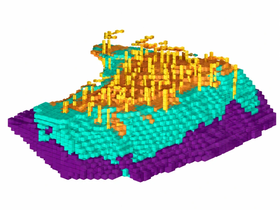
Georeferencing, digital databases, wireframes and 3D models. A consistent basis for further interpretation and resource estimation.
Maps and the model are anonymised demonstration illustrations. Site names and coordinates have been removed. Original data are used for technical calculations.
GETTING STARTED
Share your objective, site information and available source data.
We agree on deliverables, project stages, schedule and budget.
Receive materials with findings, limitations and recommended next steps.
Scope and pricing depend on the project stage and data quality. Mining, processing and legal sections are developed with relevant specialists. A CP/QP is engaged for public resource reporting.
GEO AUDIT ARCHIVE