
GEO AUDIT ARCHIVE
Digitisation and 3D modelling
We turn maps, plans, sections and drillhole records into a consistent digital foundation for your project.
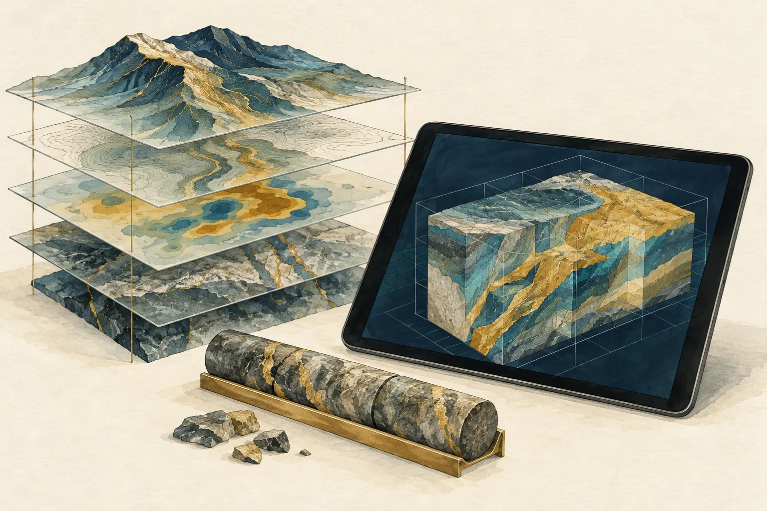
SCOPE OF WORK
- We extract tables and build drillhole and interval databases. We georeference, vectorise and establish elevation references for source materials.
- We reconstruct mineralised bodies, horizons, faults, workings and surfaces. We reconcile plans and sections and check spatial discrepancies.
- We distinguish verified geometry from interpretation. We check wireframes and domains and prepare data for block modelling and resource estimation within the agreed scope.
- Exploration coverage maps, licence polygons, geological and structural maps. Delivery in KML/KMZ, SHP, GeoPackage, GeoTIFF or DXF, with the coordinate reference system specified.
What we need to get started
Describe your objective, project stage and available materials. We will agree on the input data, scope, schedule and fee after the initial discussion.